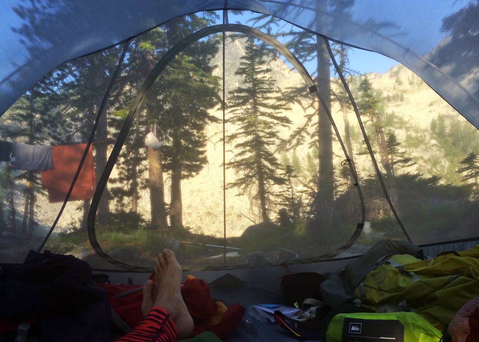
We had arranged to leave the kids with my Mom and our neighbour while Jeff and I went to explore more of our favorite near-by mountain range, the North Cascades. It was a 4-day backpacking trip following the Oval Lakes loop trail, though we modified it a bit to add some peak scrambles and more ridge exploring. It was an awesome trip!
We first had to drive 5
hours south-east into Washington and had the pleasure of driving through
the little town of Winthrop - what a find! Central Washington actually
has a very 'wild west' vibe to it, and Winthrop is the quaint and
adorable old-town center. A few clues in Winthrop and Twisp, (like
posted maps with blocked-out red areas and a large contingent of firemen
all over the place) warned us that there were some wildfires in the
area, but our inquiries led us to believe that the mountain range we
were heading towards was still open for hikers.
After a stop for lunch and picking up a few extra baked-goods for our
packs at the Cinnamon Twisp bakery, we got to the trail
head at around 12:30pm. It was 38 degrees Celsius when we started hiking - it was Vegas hot! Luckily, we gained elevation quickly and it cooled off quite comfortably for the rest of our time up there.
Our first destination was West Oval Lake. It was about 12km in with 4400ft in elevation gain, and the lake was gorgeous. Happily, we had the entire place to ourselves, as we would the entire rest of the trip!
Day two, we hiked a couple kilometers over to Middle Oval Lake, where we set up camp again before heading up to Oval Peak. Our camp was at 6800ft and the peak was 8795ft and it was a few clicks away, but we never really got a good calculation of how far we went. It was quite memorable, though, since we had just climbed to the exposed ridge when a rather intense lightning storm hit us and we had to squat in a small shelter of overhanging rocks for over an hour, covering our ears from the volume of thunder. Very cool. And the peak, of course, had spectacular views, including towards the hazy orange glow of fires to the south.
Day 3 started out with a big climb to the Sawtooth ridge, then we dropped our packs and headed up to the peak of Mt.Courtney at 8392ft. It's not as high as Oval Peak, but the climb was steeper and mostly huge boulders that required a lot of hand and foot scrambling. Very rewarding at the top. In the photo below, you can see Oval Peak on the far left, Buttermilk Butte is the middle point, then Courtney Peak is on right.
After we returned to our packs and ate lunch using snow we had to melt, we headed towards Grey Peak, the last of the peaks we wanted to reach. Not realizing it until we got home and reviewed our maps closer, we actually passed right by Grey peak and ended up climbing some other unnamed peak that turned out to test our limits of vertigo. Oh well. We ended up scattering down to Tuckaway lake for the night, enjoying some entertainment from ambitiously high-jumping trout!
We got back on Sawtooth ridge again the the last day, and found our way down to Eagle pass, then hiked the 15km or so back to the car. This photo is one of the few that actually captures all 3 peaks we climbed: Oval peak at the furthest left, Courtney Peak is the furthest right, and the unnamed peak is the one just left of Courtney.
There was a paper on the windshield from the Forest Ranger, asking us to evacuate the area, so we were lucky to get our trip in at all!


I have got to start coming with you on these trips! (Though you probably enjoyed being just the two of you.) (And I'm not sure I'm in shape enough to keep up with you!)
ReplyDelete